
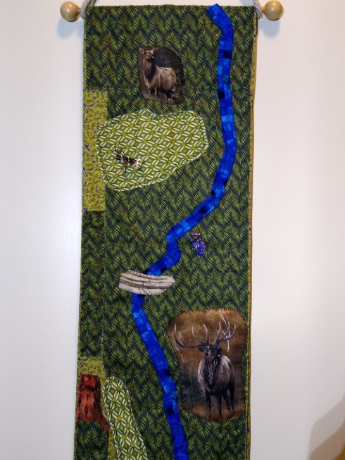
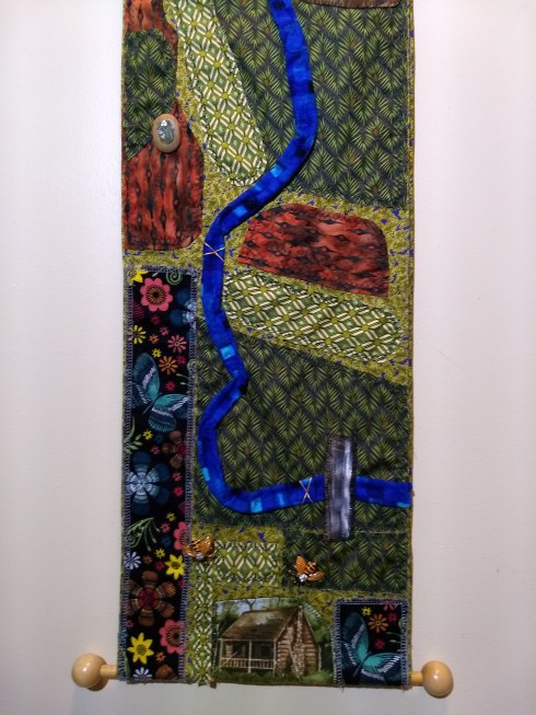
CHALLENGE: Translate or Map features of a woodland farm to media to share with toddlers…FABRIC. Since my subject is long and narrow, fabric will hold up better than paper products.
I made measurements from the satellite map of the county’s website to do my best with proportions. ENCORE:

Aerial view of frontage with driveways and barns
intreperted with “faux” needlepoint rendition.
Then…taking it to the next level…study the elevations to create a topographical map!


Leave a comment